


Monduli
Monduli District is situated in the northeastern part of Tanzania, forming one of the seven districts within the Arusha Region, with Monduli town serving as its administrative center. The district spans 14,201 square kilometers and is bordered by Longido to the north, Arusha Rural to the east, Manyara Region to the south, and Ngorongoro and Karatu Districts to the west. Its diverse geography includes arid plains, semi-arid lands, and semi-humid mountainous areas, notably the Monduli Mountains and the revered Ol Doinyo Lengai volcano, which the Maasai call "Mountain God." The region experiences varying annual rainfall, feeding ephemeral drainage systems and alkaline lakes such as Natron and Manyara.The population of Monduli District was recorded at 185,237 in the 2002 Tanzanian National Census, though it decreased to 158,929 by 2012 after the formation of Longido District. The area is primarily home to the Maasai (40%) and agro-pastoralist Waarusha (20%) communities, both Maa-speaking, who largely depend on livestock keeping for their livelihood. The local economy is significantly supported by agriculture, contributing 45% to the GDP, and tourism, accounting for over 20%. Monduli is recognized as a tourist destination, offering opportunities for wildlife viewing, cultural immersion through Maasai village visits and treks, and exploring the vibrant "Red Market" in Monduli Juu. The district's wildlife includes elephants, wild boars, and hyenas, and its proximity to major national parks like Tarangire and Ngorongoro enhances its appeal for safaris.Monduli town serves as a regional educational hub, hosting several secondary schools, a teachers' college, and the Tanzania People's Defence Force (TPDF) Military Academy. The district faces challenges related to water scarcity, particularly in its arid zones, which necessitates long journeys for water collection, a task traditionally performed by women and children. Efforts are ongoing to improve water supply and sanitation infrastructure to mitigate these issues.



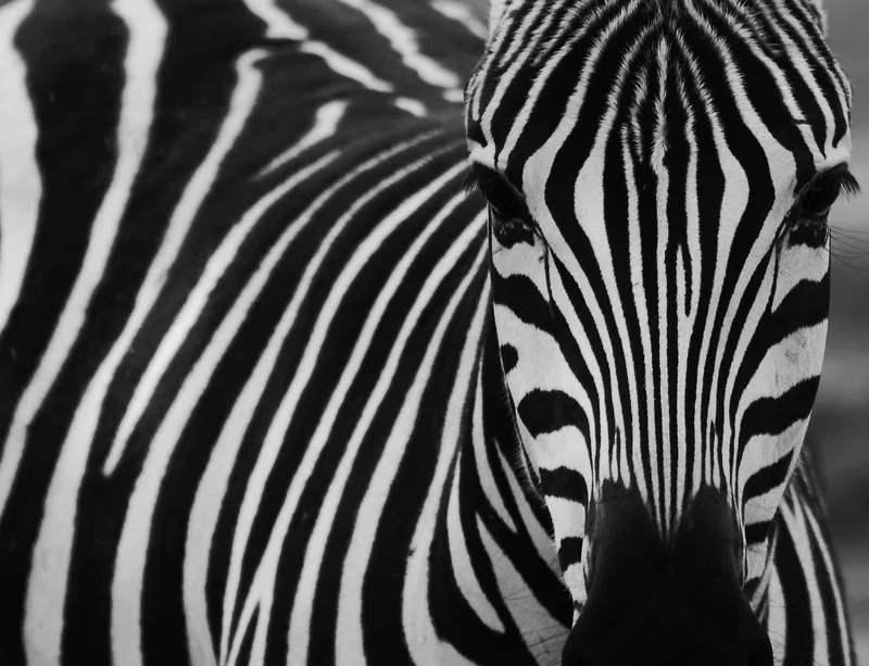
3-Day Birding in Mererani, Lark Plains & Arusha NP
0.0 km away
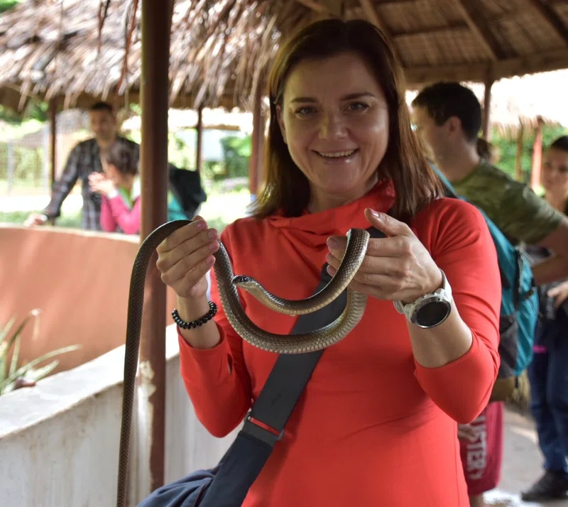
Meserani Snake Park
0.0 km away
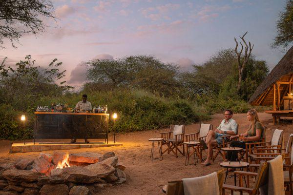
Luxury Tanzania Safaris
0.0 km away

Tanzania Safari Tours & Holidays
0.0 km away
Arusha National Park Day Tour
0.0 km away
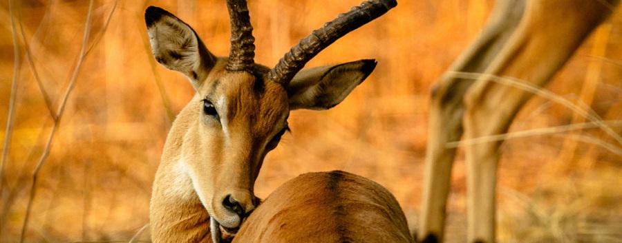
Ngorongoro Crater Day Trip from Arusha | 1 Day Tanzania Safari
0.0 km away
Weather & Rainfall Patterns
Station: 33s362e · 23.3 km away · 1508m