
About
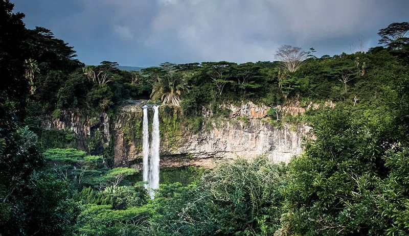
The Black River in the Upper Peninsula of Michigan is a 14-mile designated component of the National Wild and Scenic Rivers System. Managed by the Ottawa National Forest, the river's designated scenic reach extends from the national forest boundary to its mouth at Lake Superior. Geologically, the river carves through a deep gorge cut into a lake bench landform composed of slate and sandstone rock. This geology forms a dramatic corridor featuring steep rock exposures, rapid currents, and numerous waterfalls as the water flows north toward Lake Superior.
The river corridor is home to dense old-growth stands of eastern white pine and hemlock, creating a habitat for diverse terrestrial and aquatic wildlife. Lower stretches of the river support significant anadromous fish populations, including Coho salmon, Chinook salmon, and steelhead trout. The surrounding Ottawa National Forest provides habitat for black bears, white-tailed deer, red foxes, coyotes, martens, wolves, bald eagles, and the threatened wood turtle, as well as breeding populations of the federally endangered Kirtland's warbler.
Recreational activity along the Black River centers around hiking, camping, fishing, picnicking, and sightseeing. The North Country National Scenic Trail runs parallel to the river for approximately six miles, and the 12-mile Black River National Forest Scenic Byway follows Black River Harbor Road from Bessemer to the coast. At the river's mouth lies the historic Black River Harbor, notable as the only harbor in Michigan's Upper Peninsula where recreation sites were originally built by the Civilian Conservation Corps (3601st Company CCC) between 1938 and 1939.
Own this park or reserve?
Claim it to update its details and photos, add what you offer, reply to travellers and promote it on Wapota. It’s free.
Claim this listing →