About
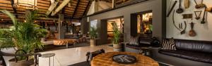
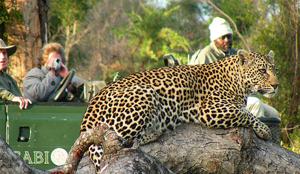
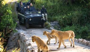
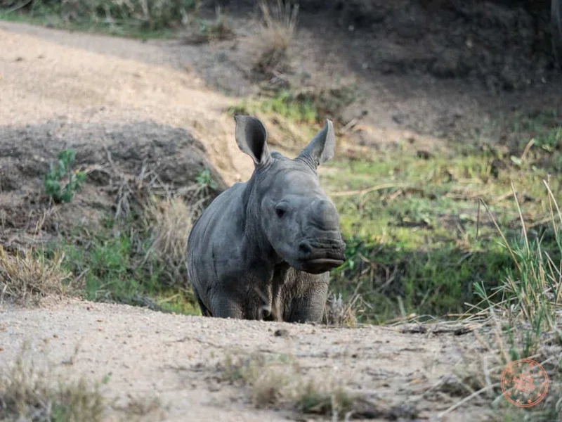
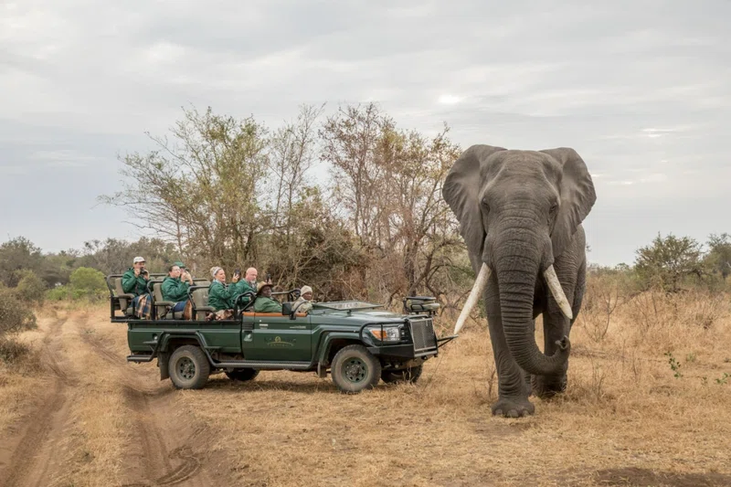
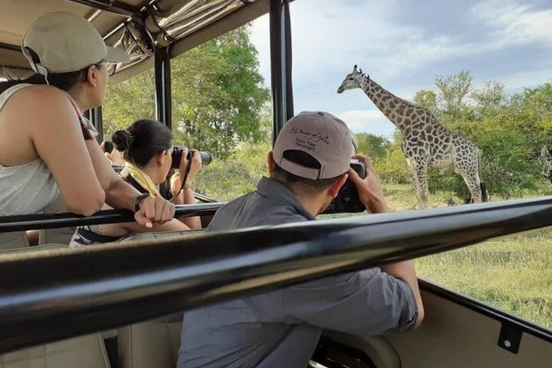
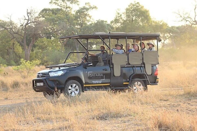
Lower Sabie Rest Camp is located in the southern part of Kruger National Park, South Africa, gracing the banks of the perennial Sabie River. It offers visitors expansive views over the river and towards the Lebombo Mountains, which form a natural boundary of the park. The camp's GPS coordinates are approximately -25.119830 S, 31.915940 E. The closest entrance gate is Crocodile Bridge, located 35 km to the south, while Skukuza Airport is 50 km away.The area around Lower Sabie is characterized by a rich natural environment. The camp itself is nestled within knob thorn/marula savannah on basalt soils, featuring prominent sycamore fig, leadwood, and sausage trees. These sycamore fig trees are particularly significant, providing sustenance for a diverse array of birds and insects. The sweet grass in the vicinity attracts numerous grazing species. West of the camp, the landscape transitions into a delagoa thorn thicket on ecca shale soil, where delagoa thorn and magic guarri trees are prevalent. This abundance of water and varied vegetation contributes to an exceptional diversity of wildlife, almost unparalleled elsewhere in Kruger National Park. The area is renowned for its high density of warthogs and is rich in lion, cheetah, elephant, hippopotamus, rhino, and large herds of buffalo, some numbering up to 800 strong.Lower Sabie Rest Camp provides a range of accommodation options, including huts, safari tents, bungalows, family cottages, and the Keartland Guest House, catering to various guest needs, with some units adapted for visitors with impaired mobility. Facilities at the camp include a reception, public telephone, post box, a Mugg & Bean restaurant with a river-view deck, a cafeteria, a shop, a laundromat, a filling station, communal kitchens and ablutions, and a swimming pool. Activities available include day and night game drives, and visits to nearby attractions such as Sunset Dam, known for aquatic bird species, and Nthandanyati Bird Hide.