
Deadvlei
Deadvlei is a striking white clay pan situated near Sossusvlei within the Namib-Naukluft Park in Namibia. Its name, meaning "dead marsh" (from English "dead" and Afrikaans "vlei"), accurately describes its desolate yet captivating landscape. The pan was formed after periods of heavy rainfall when the Tsauchab River flooded, allowing camel thorn trees to flourish. However, a subsequent climate shift led to drought, and encroaching sand dunes eventually blocked the river's access to the pan.
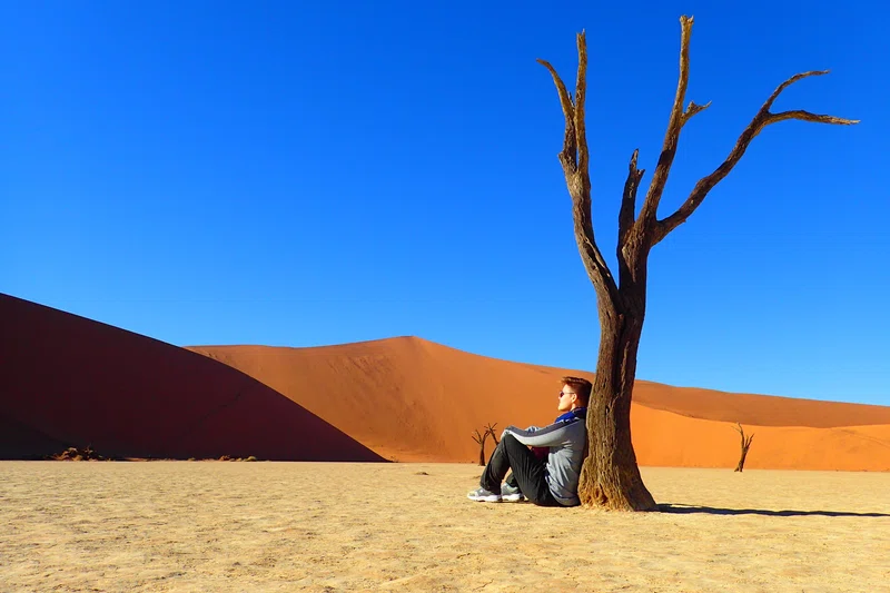
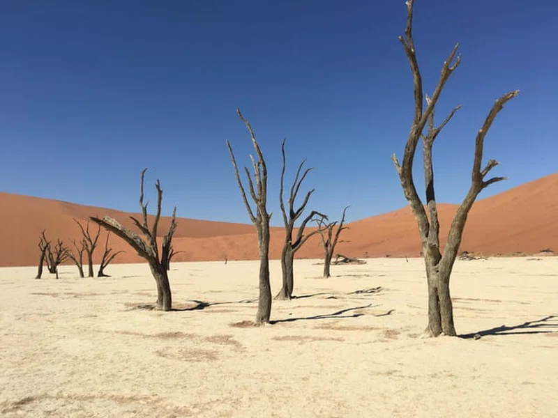
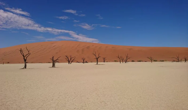
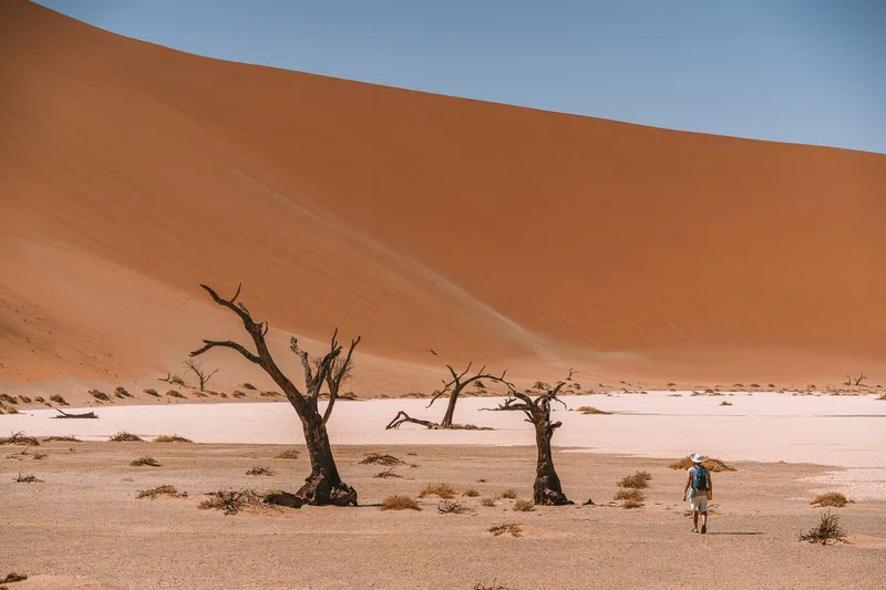
The most distinctive feature of Deadvlei is the collection of dark, skeletal camel thorn trees, estimated to be between 600 and 900 years old. These trees have not decomposed due to the extremely dry desert climate, which has preserved them in a scorched, petrified state. This creates a dramatic contrast against the bleached-white clay pan, the towering rusty-red dunes, and the deep blue sky, making it a renowned location for photographers. The surrounding dunes are among the highest in the world, with "Big Daddy" reaching approximately 325-350 meters.
Deadvlei is located within the Namib-Naukluft National Park, accessible via the Sesriem gate. Visitors typically drive a paved road for about 60 km from Sesriem, with the final 4-6 km requiring a 4x4 vehicle or a shuttle service due to soft sand. From the parking area, it's a walk of about 15-20 minutes over a small dune to reach the pan. Activities include walking across the pan, climbing nearby dunes like Big Daddy or Dune 45 for panoramic views, and photography. The best times to visit are early morning or late afternoon to avoid extreme heat and capture optimal lighting for photography.
Quick Info
Own this place?
Claim it to update its details and photos, add what you offer, reply to travellers and promote it on Wapota. It’s free.
Claim this listing →

2-Day Sossusvlei & Deadvlei Safari Tour – Explore
0.0 km away
Big Daddy Dune
0.0 km away
12 Day Explore the Best of Namibia Safari
0.0 km away
Weather & Rainfall Patterns
Station: 248s153e · 34 km away · 613m