

Signal Hill
Signal Hill is a prominent flat-topped hill in Cape Town, South Africa, rising 350 meters (1,150 feet) above sea level. It forms a distinctive part of the city's landscape, situated alongside Lion's Head and Table Mountain, and is sometimes referred to as Lion's Rump due to its appearance when viewed with Lion's Head. A well-maintained road provides access to its summit, offering visitors expansive panoramic views of Cape Town, the Atlantic Seaboard, and the surrounding areas, making it a popular spot for watching sunrises and sunsets.
Historically, Signal Hill played a crucial role in maritime communication. Its name originates from the signal flags that were flown from its peak to convey weather warnings and anchoring instructions to ships entering Table Bay. From 1836 until 1934, a time ball on the hill relayed the precise moment of 1 PM Cape Mean Time, allowing ships to accurately set their marine chronometers. Today, this historical tradition is continued by the daily firing of the Noon Gun from the Lion Battery on the hill's slopes, a practice maintained by the South African Navy and South African Astronomical Observatory.
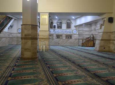
Beyond its historical significance, Signal Hill is also recognized for its unique ecology and recreational opportunities. It is one of the few remaining habitats for the critically endangered Peninsula Shale Renosterveld vegetation, an ecosystem found almost exclusively in this area and on Devil's Peak. The hill is a favored location for various activities, including paragliding and flying model airplanes. Several Muslim tombs, known as kramats, are situated on its slopes, including the notable white square building with a green dome dedicated to Sheikh Mohamed Hassen Ghaibie, which remain important sites for local Muslim communities. Visitors can also use Signal Hill as a starting point for hiking trails leading to Lion's Head.
Quick Info
Own this place?
Claim it to update its details and photos, add what you offer, reply to travellers and promote it on Wapota. It’s free.
Claim this listing →




Bo-Kaap Walking Tour & Food Tasting
0.0 km away
Check-in at Cape Cadogan Boutique Hotel
0.0 km away

Cape Town Aquarium
0.0 km away

11 to 15 Day Tours
0.0 km away
Garden Route, Karoo, Swaziland Tour
0.0 km away
Mozambique Tours
0.0 km away
Weather & Rainfall Patterns
Station: 339s184e · 12.8 km away · -9999m