
Empakaai Crater
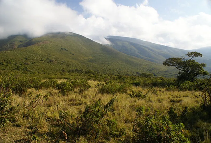
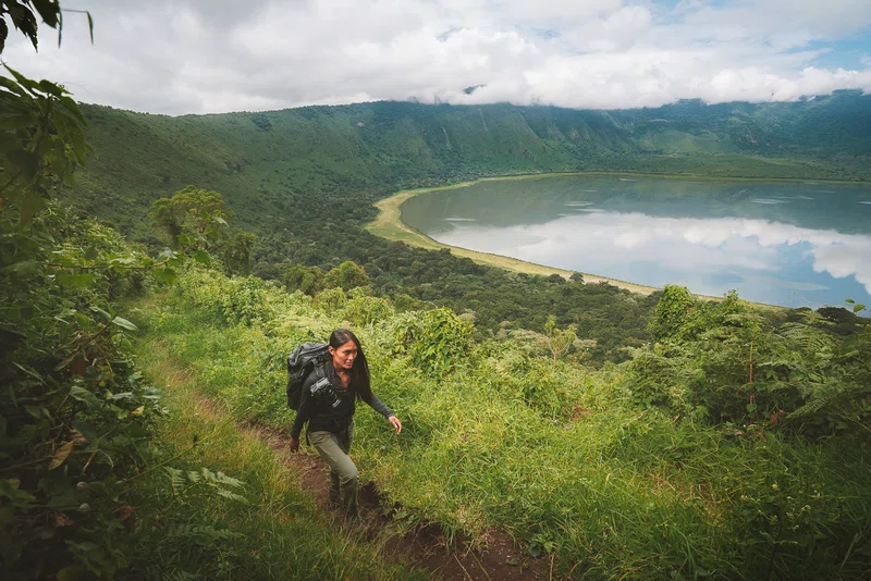
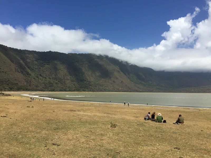
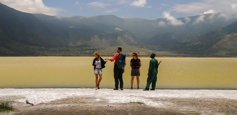
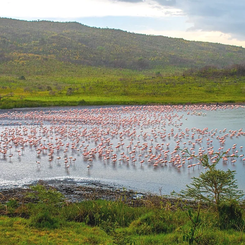
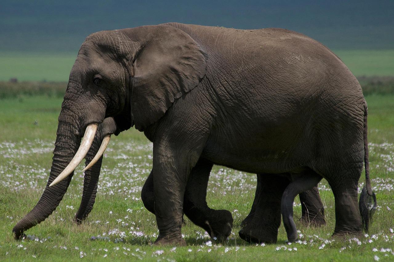
Empakaai Crater is a collapsed volcanic caldera located within the Ngorongoro Conservation Area in the Arusha Region of northern Tanzania, approximately 40 kilometers northeast of Ngorongoro Crater. Positioned in the Ngorongoro Highlands, the caldera spans between 6 and 8 kilometers in width. Its outer rim rises to an elevation of 3,200 meters above sea level on the western side and 2,590 meters on the eastern side, enclosing the crater floor within 300-meter-high forested cliffs. Between 50 and 75 percent of the crater bottom is filled by a deep alkaline soda lake reaching depths of up to 85 meters. Due to the high altitude, the rim is frequently shrouded in mists, giving the crater lake an emerald or deep blue appearance.The crater floor and surrounding steep walls support dense natural vegetation, tropical rainforests, and diverse wildlife. Large concentrations of lesser flamingos gather along the saline shores of the lake, accompanied by other waterbirds such as black-winged stilts and cape teal. The lush terrain provides habitat for wild animals including leopards, lions, elephants, cape buffaloes, bushbuck, and blue monkeys, as well as raptors such as the bearded vulture and augur buzzard. Guided hiking safaris down to the lake shore take roughly 45 minutes to descend and up to two and a half hours to ascend, and all walks require an armed ranger escort provided by the conservation authority.From the high elevation of the crater rim, visitors can look outward across the landscape to view the active volcano Ol Doinyo Lengai, the Great Rift Valley, Lake Natron, and distant peaks such as Mount Meru and Mount Kilimanjaro. Historically inhabited by Maasai pastoralists and local farming households prior to conservation initiatives, the caldera is today managed by the Ngorongoro Conservation Area Authority and forms part of the UNESCO Global Geopark network.
Quick Info
Own this place?
Claim it to manage photos, respond to visitors, and promote it to travelers.
Claim this listing →





4-Day Oldonyo Lengai Climb
0.0 km away
3-Day Mount Oldoinyo Lengai Adventure
0.0 km away
11-Day Queen, Bwindi, Serengeti & Ngorongoro Crater Rim
0.0 km away
Ngorongoro Crater Safari
0.0 km away
3-Day Tarangire, Ngorongoro Crater & Cultural Experience Safari
0.1 km away
4-Day Tanzania Cultural Wildlife Safari
0.1 km away
Weather & Rainfall Patterns
Station: 30s359e · 19.6 km away · 1240m