
Mbeya Peak
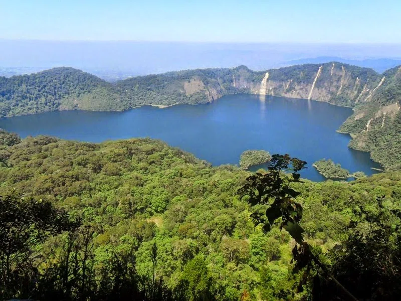
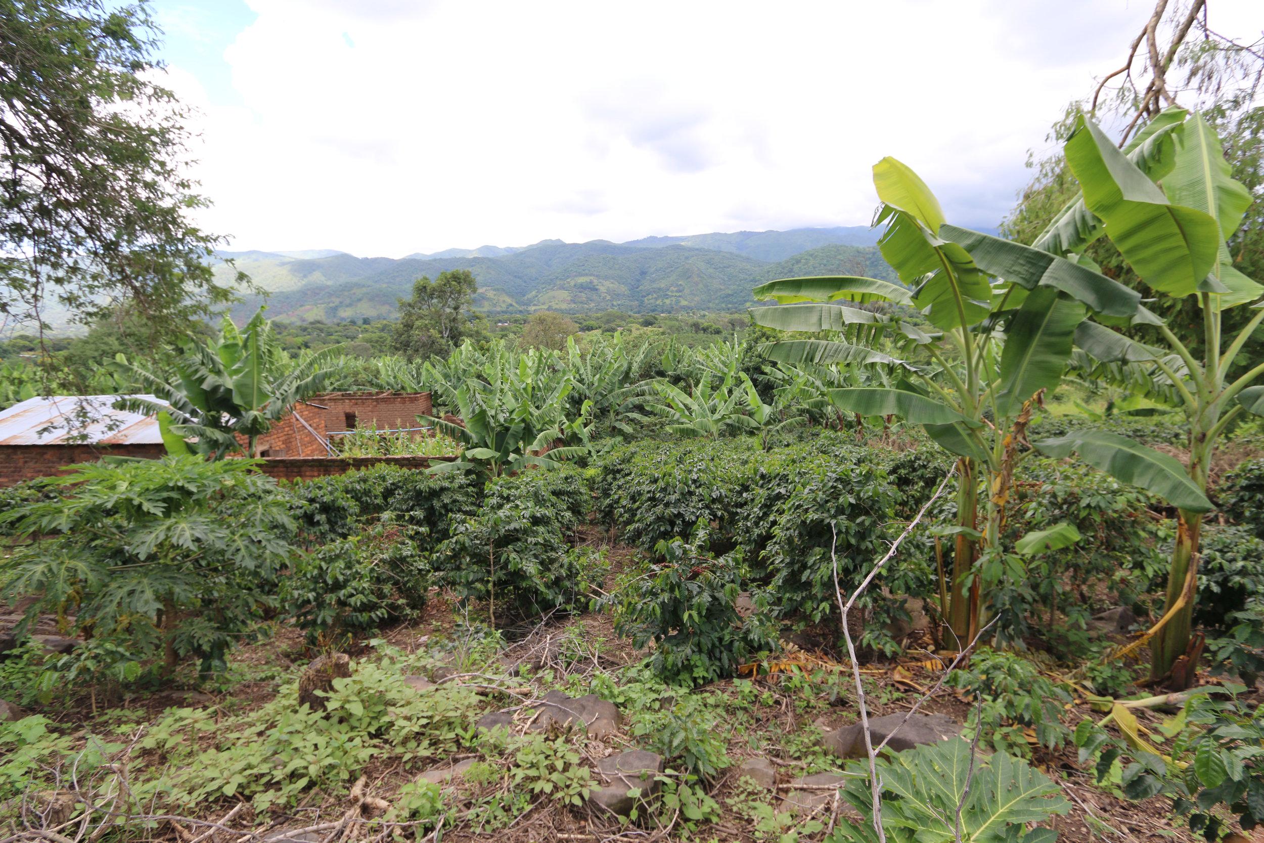
Mbeya Peak, standing at an elevation of 2835 meters, is the highest point within the Mbeya Range, a volcanic mountain range situated northwest of Mbeya city in southwestern Tanzania. The range lies at the confluence of the eastern Gregory Rift and western Albertine Rift valleys. The surrounding landscape is characterized by a narrow highland valley encircled by towering mountains, with hillsides adorned in heather and bracken. The region's climate is subtropical highland, featuring humid summers and dry winters, with the heaviest rainfall occurring from December to April.The peak is a popular destination for day hikes, offering several possible routes for ascent. One common route begins at Mbalizi junction, approximately 12 kilometers west of Mbeya town, and proceeds past Utengule Coffee Lodge and St Mary's Seminary before reaching Lunji Farm, where hikers can park and continue on foot. The return trip typically takes about five hours, and it is strongly recommended to undertake the climb with a local guide, which can be arranged through local hotels or Mbeya travel agencies.While Mbeya Peak itself is a natural landmark, the broader Mbeya region is rich in biodiversity and natural attractions. Nearby features include the Kitulo Plateau, often referred to as the "Garden of God" for its vibrant display of orchids and native flora, and Lake Ngosi, a large crater lake surrounded by dense, bird-rich forest. The region's forests, particularly around Mount Rungwe, are home to various wildlife, including the threatened Abbott's duiker, Rungwe bush vipers, and Colobus monkeys. The Safwa people, an ethnic and linguistic group, are among the agricultural communities residing in the Mbeya Mountains. The city of Mbeya itself has historical significance, having been founded as a gold mining town in the 1920s.
Quick Info
Own this place?
Claim it to manage photos, respond to visitors, and promote it to travelers.
Claim this listing →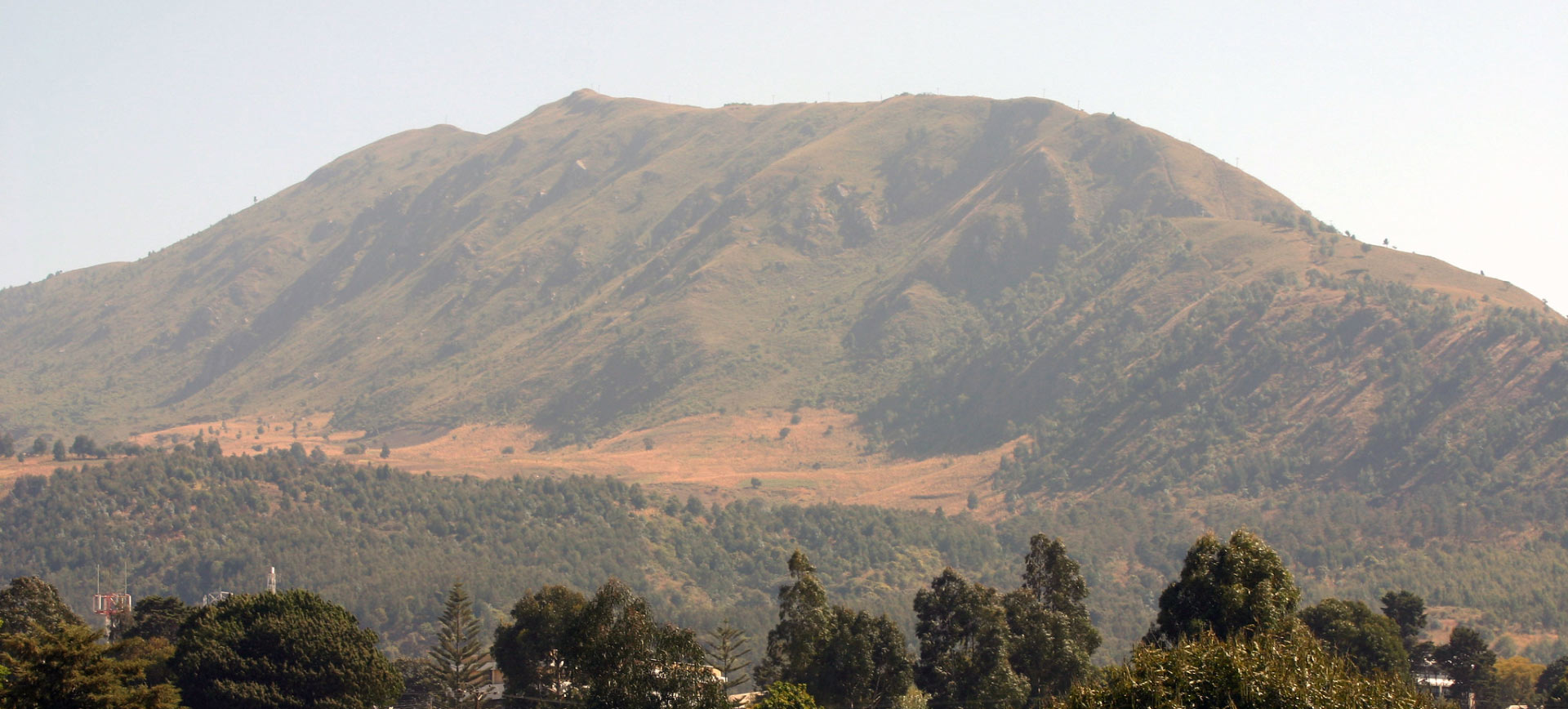




Weather & Rainfall Patterns
Station: 89s334e · 17.9 km away · 1653m