
Kerio Valley
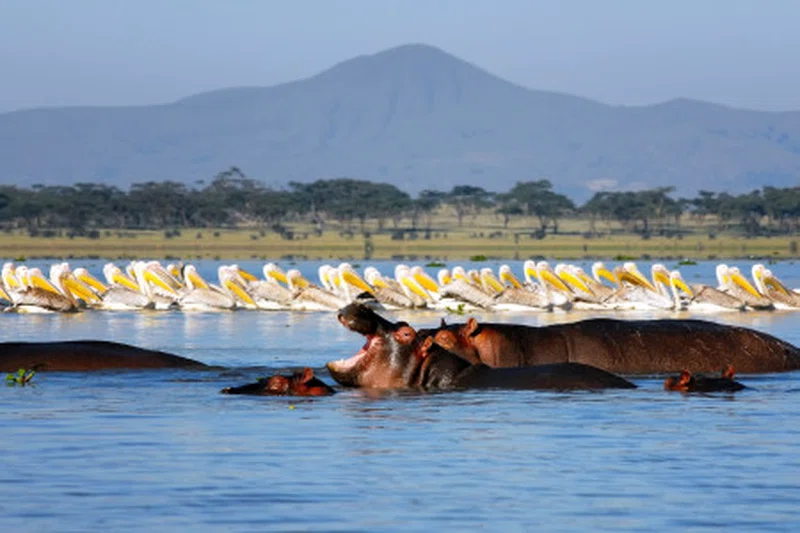
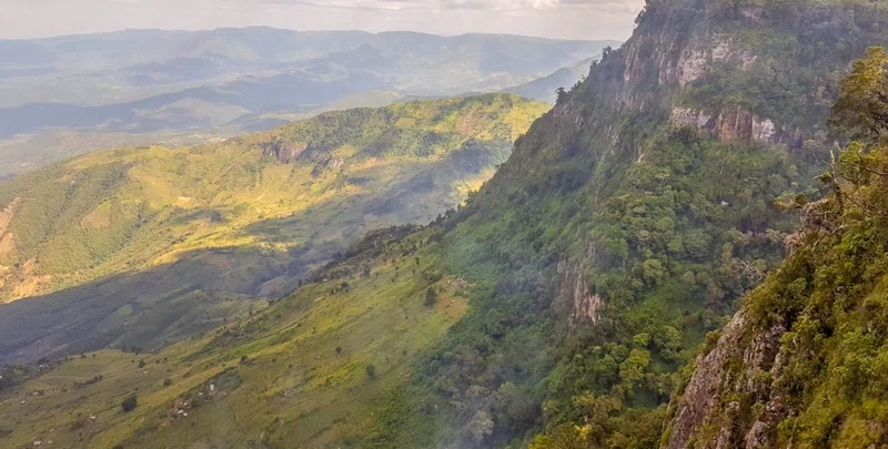
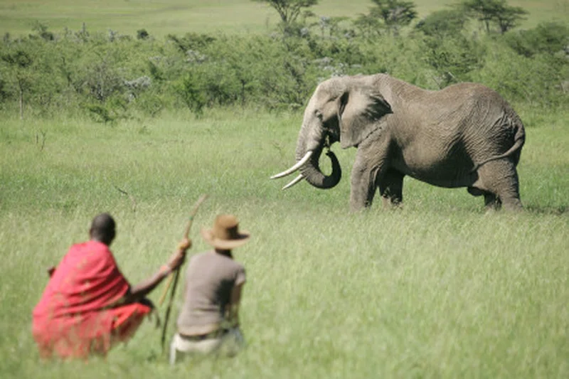
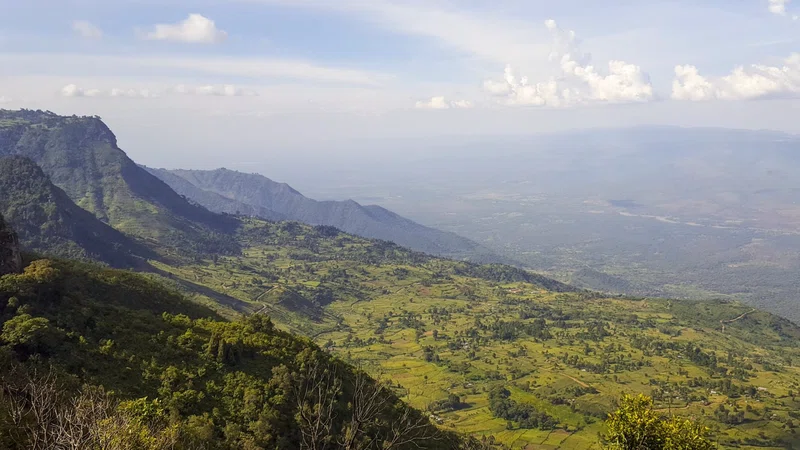
Kerio Valley is a prominent geographical feature in Kenya, forming a branch of the Great Rift Valley. Situated between the Tugen Hills and the Elgeyo Escarpment, it lies at an elevation of approximately 1,000 meters (3,300 ft). The valley is a narrow, long strip, roughly 80 kilometers (50 mi) in length and 10 kilometers (6.2 mi) wide at its broadest point, with depths reaching 1,200 meters (4,000 ft). The Elgeyo Escarpment dramatically rises over 1,830 meters (6,000 ft) above the valley floor in certain areas. The Kerio River, which originates in the Metkei and Timboroa area northwest of Eldama Ravine, flows northward through the valley for over 400 kilometers (250 mi) before discharging into Lake Turkana. This mountainous forest region, with an elevation of about 2,500 meters above sea level, receives abundant rainfall exceeding 1,400 mm annually, while the valley floor experiences 800-900 mm per year. The total catchment area of the Kerio River is approximately 14,172 square kilometers. The valley's slopes are characterized by semi-tropical vegetation, contrasting with the dry thorn bushes found on its floor.The Kerio Valley is home to the Kerio Valley National Reserve, a protected area established in 1983 and managed by the Kenya Wildlife Service, covering 66 square kilometers (25 sq mi). The reserve is located on the west side of the Kerio River, which is known to be crocodile-infested, while the Lake Kamnarok National Reserve lies on the east. Lake Kamnarok, named after a Kalenjin word for a water plant, has a surface area of 1 km² and is fed by seasonal tributaries. The region boasts dramatic scenery and prolific birdlife, making it an ideal destination for nature walks, hiking, and paragliding. While not a primary "Big Five" safari destination, the reserve is notable for its significant elephant population, alongside other wildlife such as impalas, gazelles, warthogs, leopards, hyenas, zebras, and giraffes. Birdwatching is a popular activity, with species like weaver birds, helmeted guinea fowl, kori bustards, and various eagles and hawks present. The most comfortable time to visit is typically July and August, after the rains have subsided and temperatures are moderate.Historically, the Kerio Valley is significant for its elaborate ancient irrigation systems, believed to have been constructed by descendants of Neolithic Afro-Asiatic people, known as the Stone Bowl cultural complex. These systems are currently maintained by the Marakwet subgroup of the Kalenjin Nilotes, who inhabit the northern part of the valley, while the Elgeyo people settle the southern parts, and the Tugen reside on the Tugen Hills slopes. The Kalenjin people are predominantly herders, and human-wildlife conflict, particularly with elephants, has been noted due to crop destruction. The valley is also renowned as a prime location for high-altitude athletic training, attracting many international athletes to camps around Iten and Kaptagat. Additionally, fluoride is mined in Kimwarer, in the southern part of the valley.
Quick Info
Own this place?
Claim it to manage photos, respond to visitors, and promote it to travelers.
Claim this listing →Weather & Rainfall Patterns
Station: 30n359e · 35.9 km away · 442m