
Singida Region
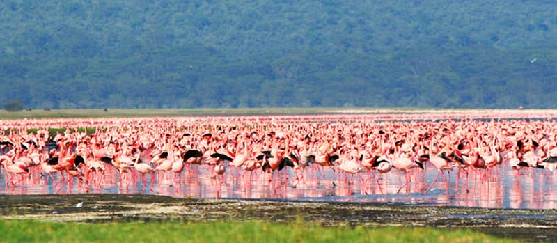
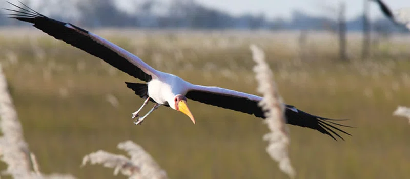
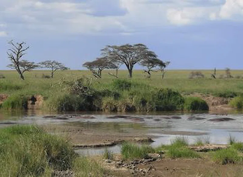
Singida Region is one of Tanzania's 31 administrative regions, centrally located below the equator between latitudes 3°52' and 7°34'S and longitudes 33°27' and 35°26'E. Covering a land area of 49,340 km², it ranks as the 5th largest region in Tanzania, encompassing approximately 5.6% of the mainland's total area. The regional capital is Singida municipality. The region shares borders with Shinyanga, Simiyu, Arusha, Manyara, Dodoma, Iringa, Mbeya, and Tabora regions. Its climate is semi-arid, characterized by unpredictable rainfall ranging from 500 to 800 mm annually, a short rainy season from December to March/April, and a prolonged dry season from April/May to November. Temperatures fluctuate between 15°C in July and 30°C in October, with notable diurnal variations.The terrain is part of Tanzania's central plateau, with elevations typically between 1,200 and 1,500 meters above sea level. A prominent feature is a significant scarp, forming part of the Great Rift Valley, which encircles the area except for its southeastern boundary. The landscape is marked by massive granite and metamorphic rock outcrops, known as inselbergs, and expansive, gently sloping peneplains. Water bodies, including Lakes Eyasi, Kitangiri, Singidani, Kindai, Munang, and Balengida, cover 95.5 km². The Sibiti River is the region's only permanent river, flowing into Lake Kitangiri. Other rivers, such as Ndurumo, Mpura, Kisukwani, Wembere, Ponde, and Bubu, feed into various drainage basins, including the Bahi Swamp and internal drainage systems that create salty and alkaline lakes. The flora includes bushland and thickets in the uplands, and wetland vegetation comprising grasslands and trees, notably the dense deciduous "Itigi thickets" found in parts of Ikungi District.Singida Region offers diverse wildlife and cultural attractions. The Manyoni District hosts three game reserves—Muhesi, Kizigo, and Rungwa—spanning 15,836 km² and bordering Ruaha National Park. These reserves are home to a wide array of species, including elephants, buffalo, lions, leopards, giraffes, impala, zebra, baboons, monkeys, and numerous bird species. Additionally, there are 12 open game areas. Cultural sites feature ancient rock paintings at locations like Mwakiteu, Mangua, Misughaa, and Kisana Wangu. Natural hot springs can be found in Msule Village, Sambaru, and Nkhonkilangi Village. Historical sites include the German Boma in Kilimatinde, constructed between 1880 and 1890, which served military and administrative purposes during the German colonial era. The Singida Regional Museum, under Tanzania's Open University, is also open to the public.The economy is predominantly agricultural, employing approximately 90% of the population. Key food crops include maize, sweet potatoes, paddy, sorghum, and cassava, while cash crops feature sunflower, cotton, groundnuts, and onions. Livestock farming, encompassing cattle, goats, sheep, donkeys, and chickens, is the second most significant economic activity. Fishing is concentrated in Lake Kitangiri. The region also has mining activities for gold, gypsum, and construction minerals. As of 2022, Singida Region had a population of 2,008,058, characterized by a youthful age structure and a largely rural populace, with 84% residing in rural areas.
Quick Info
Own this place?
Claim it to manage photos, respond to visitors, and promote it to travelers.
Claim this listing →Weather & Rainfall Patterns
Station: 64s338e · 32.1 km away · 1379m