

Luweero District
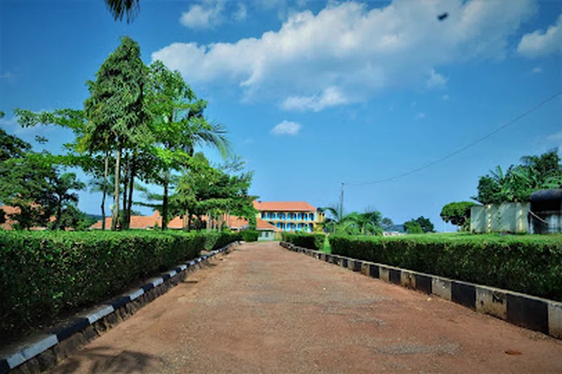
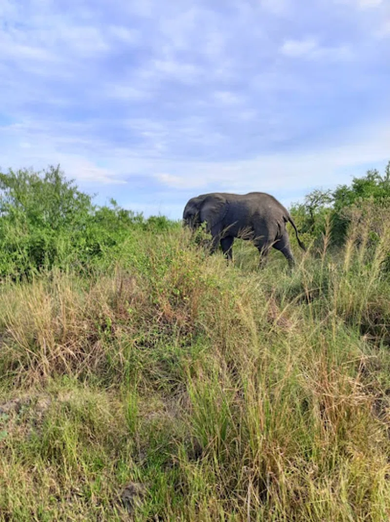
Luwero District, located north of Kampala in Uganda's Central Region, spans approximately 2577.49 square kilometers. It is bordered by Nakasongola to the north, Kayunga to the east, Mukono and Wakiso to the south, and Nakaseke to the west. The district headquarters are situated in Luwero Town Council, roughly 64 kilometers along the Kampala-Gulu Highway. The topography is characterized by an elevated and dissected plateau, featuring a series of flat-topped hills and intervening valleys, with altitudes generally ranging between 1,219 and 1,524 meters above sea level. The climate is marked by well-distributed rainfall, averaging 1,300mm annually, and mean temperatures ranging from 15°C to 17.5°C minimum and 27.5°C to 30°C maximum.Three-quarters of Luwero District is covered by savannah vegetation, and its soils are predominantly red sandy loam. The southern part of the district is notably fertile, supporting a diverse range of crops, while northern areas like Kamira, Butuntumula, and parts of Kikyusa Sub-counties have lower fertility due to their sandy loam composition. Agriculture forms the backbone of the district's economy, engaging an estimated 85 percent of the population, particularly women. Land use varies, with cattle farming prevalent in drier regions. Food crops such as cassava, sweet potatoes, maize, and bananas are grown in the northern areas, while the southern and central regions cultivate bananas, potatoes, cassava, beans, groundnuts, horticulture crops like tomatoes, cabbages, and greens, and upland rice. Cash crops include coffee, bananas, horticultural produce such as watermelons, passion fruits, tomatoes, cabbages, and vegetables, with pineapple growing being a significant activity in many northern parts of the district.Historically, Luwero District is widely recognized for the devastating five-year Guerilla war that occurred between 1981 and 1986. This conflict, fought between the Uganda National Liberation Army (UNLA) and various rebel groups, most notably the National Resistance Army (NRA) – which later became the Uganda People's Defense Force (UPDF) – left the district severely impacted economically, socially, administratively, and infrastructurally. Originally part of the larger East Mengo District, Luwero was established as a separate district in 1974. Over time, its administrative boundaries evolved, with Buruli County carved out in 1997 to form Nakasongola District, and Nakaseke County following suit in 2005 to become Nakaseke District. Presently, Luwero District is composed of two counties, Katikamu and Bamunanika, encompassing three constituencies, ten sub-counties, and eight town councils, reflecting its current administrative structure.
Quick Info
Own this place?
Claim it to manage photos, respond to visitors, and promote it to travelers.
Claim this listing →



Weather & Rainfall Patterns
Station: 11n325e · 23.9 km away · 1083m