
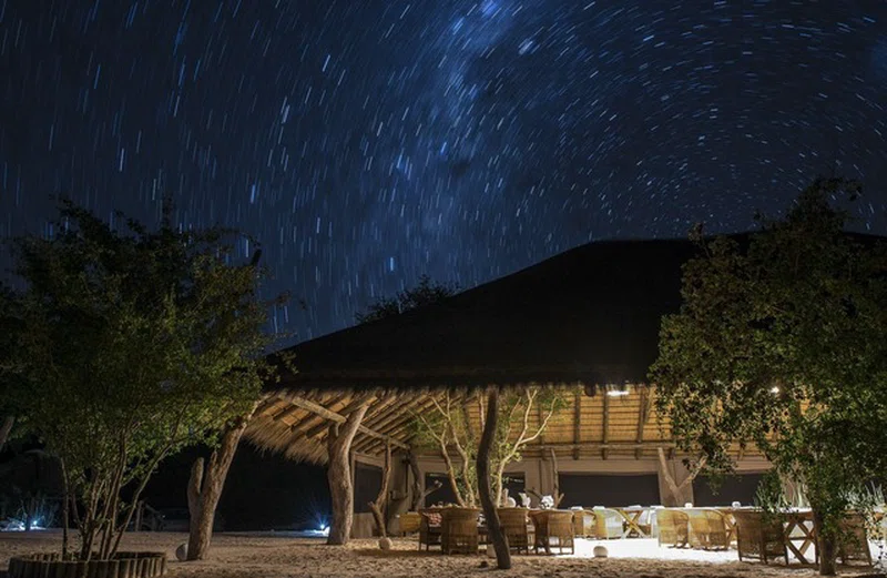
Rambuka Pan
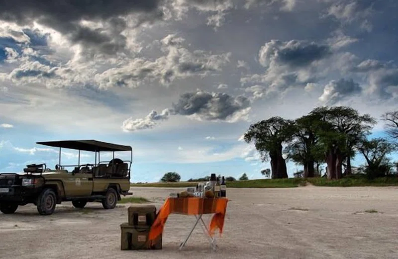
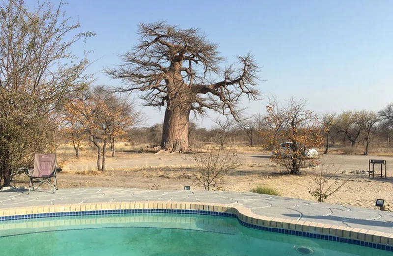
Upon reviewing the provided URLs, no specific information or dedicated official website for 'Rambuka Pan' was found. The URLs that explicitly mentioned 'Rambuka Pan' or 'Tweeling-Rambuka Pan' (tracks4africa.co.za and ibotswana.co.bw) were inaccessible. Therefore, a detailed description of Rambuka Pan itself cannot be provided based on the fetched content.However, based on the context of the provided URLs, Rambuka Pan is understood to be located within the broader Makgadikgadi and Nxai Pans complex in Botswana. This vast region, part of the Kalahari Basin, spans approximately 12,000 square kilometers and is home to one of the world's largest salt pan systems. The landscape is predominantly flat and stark, characterized by extensive salt pans, interspersed with sand dunes, rocky islands, and grasslands on its fringes.During the wet season, typically from late November to April, the pans, including major ones like Sowa and Ntwetwe, can flood, attracting a significant influx of wildlife. This includes large herds of zebra and wildebeest, as well as vast numbers of flamingos in areas such as Sowa and Nata Sanctuary. In the dry season, wildlife tends to concentrate along permanent water sources like the Boteti River, where species such as elephants, zebras, wildebeest, giraffes, kudu, impala, and various predators like lions, spotted hyenas, and leopards can be observed. The Nxai Pan National Park, adjacent to the Makgadikgadi Pans National Park, is also known for its open grasslands and features iconic landmarks like Baines' Baobabs. Activities offered in the wider Makgadikgadi Pans Game Reserve include game drives, quad biking, and walks with meerkats.
Quick Info
Own this place?
Claim it to manage photos, respond to visitors, and promote it to travelers.
Claim this listing →



Weather & Rainfall Patterns
Station: 198s250e · 24.4 km away · 968m