

Barotse Floodplain
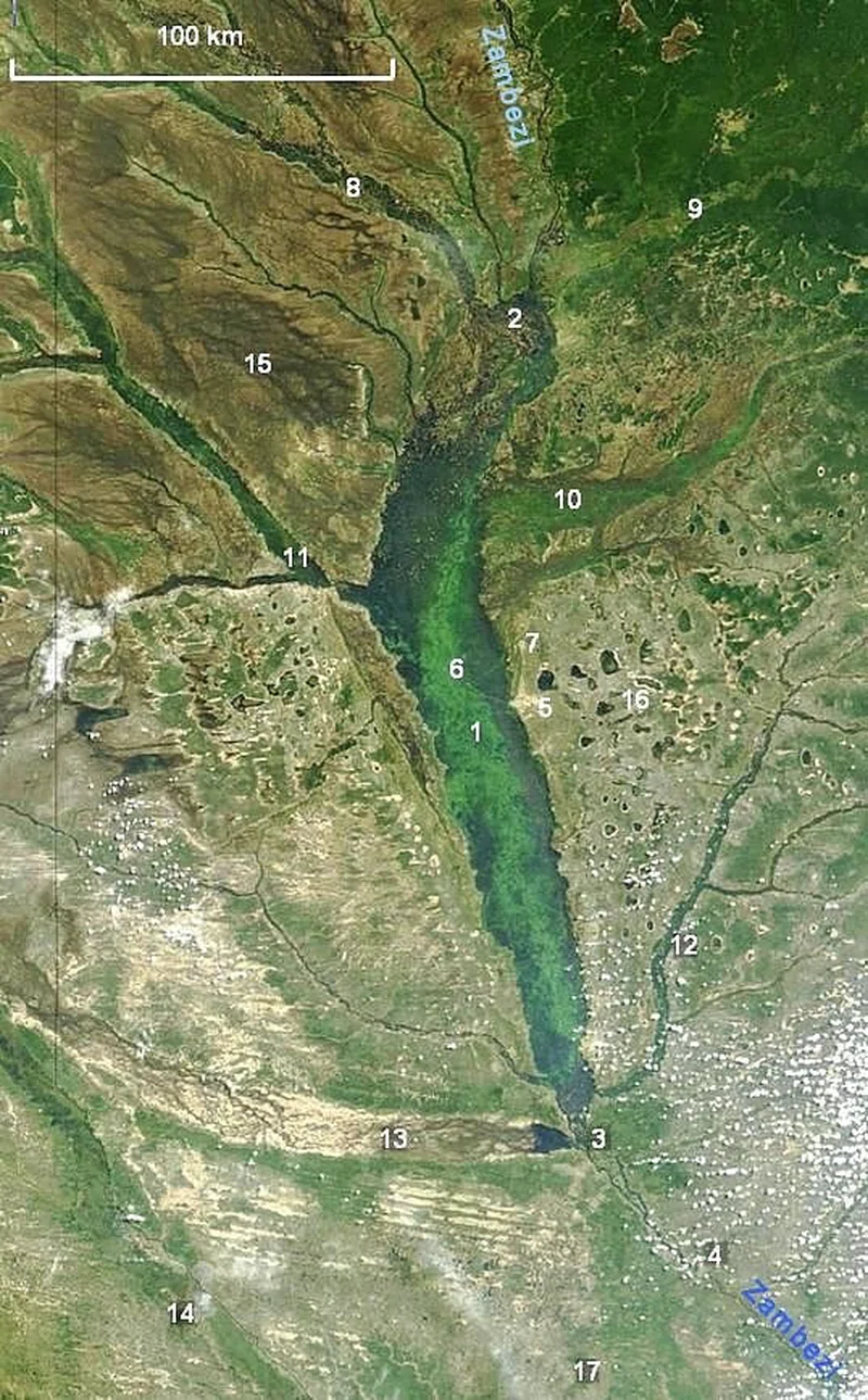
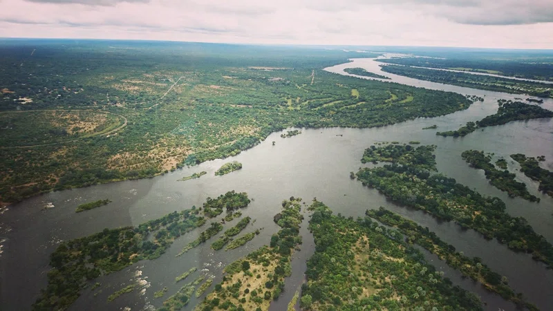
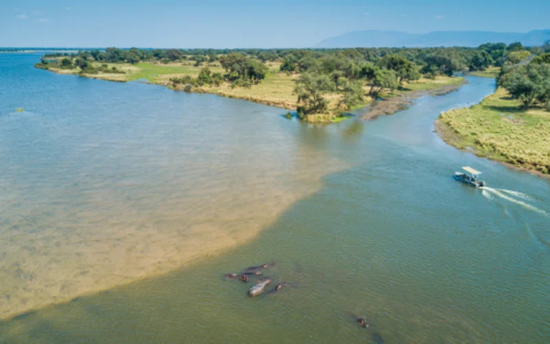
The Barotse Floodplain, also known as the Bulozi Plain or Zambezi Floodplain, is one of Africa's great wetlands located in the Western Province of Zambia, approximately 600 kilometers west of the capital city, Lusaka. It is the second-largest wetland system in Zambia, after the Lake Bangweulu system, and is recognized as a designated Ramsar site due to its high conservation value. The floodplain stretches about 230 kilometers from north to south, with a width typically around 30 kilometers, expanding to 50 kilometers at its widest point north of Mongu. While its main body covers approximately 5,500 square kilometers, the maximum flooded area, including its various tributaries like the Luena Flats, can reach up to 10,750 square kilometers. Broad estimates suggest the Barotse Floodplain area is around 550,000 hectares, with the total wetland cover in the region extending to about 1.2 million hectares.This remarkable landscape is a flat plateau situated at an elevation of about 1,000 meters, gently sloping southward. It is formed from Kalahari sands and is annually inundated by the Zambezi River's summer floods, which deposit fertile alluvial soils crucial for agriculture. The floodwaters typically peak in April and gradually recede from May to July, leaving behind a rich, dark soil. Even during the lowest water levels in November, the floodplain retains numerous lagoons, swamps, and channels. The Barotse Floodplain is part of the Zambezian flooded grasslands ecoregion, flanked by dry grasslands and woodland savanna, with patches of evergreen forest in some areas. As the floods recede, the landscape transforms into a mosaic of oxbow lakes, lagoons, and smaller swamps, supporting a diverse array of life.The floodplain is a haven for biodiversity, providing critical aquatic habitats for fish species such as tigerfish and bream, as well as crocodiles and hippopotamuses. It is home to over 300 species of birds, including various waterbirds like the black heron, African skimmer, and pied kingfisher, and hosts a vast colony of African openbill storks. Grazing animals such as wildebeest, zebra, tsessebe, oribi, and steenbok, along with their predators, inhabit the plains after the floods recede. The Barotse Floodplain is famed for its fishing, particularly for tiger and bream, with the ideal season being the cooler winter months from May to August. It is also an excellent destination for birdwatching.Culturally, the Barotse Floodplain is deeply intertwined with the identity and traditions of the Lozi people, whose way of life, economy, and society are dominated by the annual flood cycle. The Lozi Kingdom, established around 1600 CE by the Aluyana people, developed ingenious adaptations to the seasonal flooding. This includes the renowned Kuomboka ceremony, an annual ritual migration where the Lozi king and his people move from their flood capital in the plains to higher ground as the waters rise. The landscape features significant cultural infrastructure, including burial mounds, royal graves, canals, traditional gardens, and sacred lagoons, all integral to rituals practiced for over four centuries. The Barotse Royal Establishment continues to play a vital role in managing natural resources and preserving the rich cultural heritage of this living landscape.
Quick Info
Own this place?
Claim it to manage photos, respond to visitors, and promote it to travelers.
Claim this listing →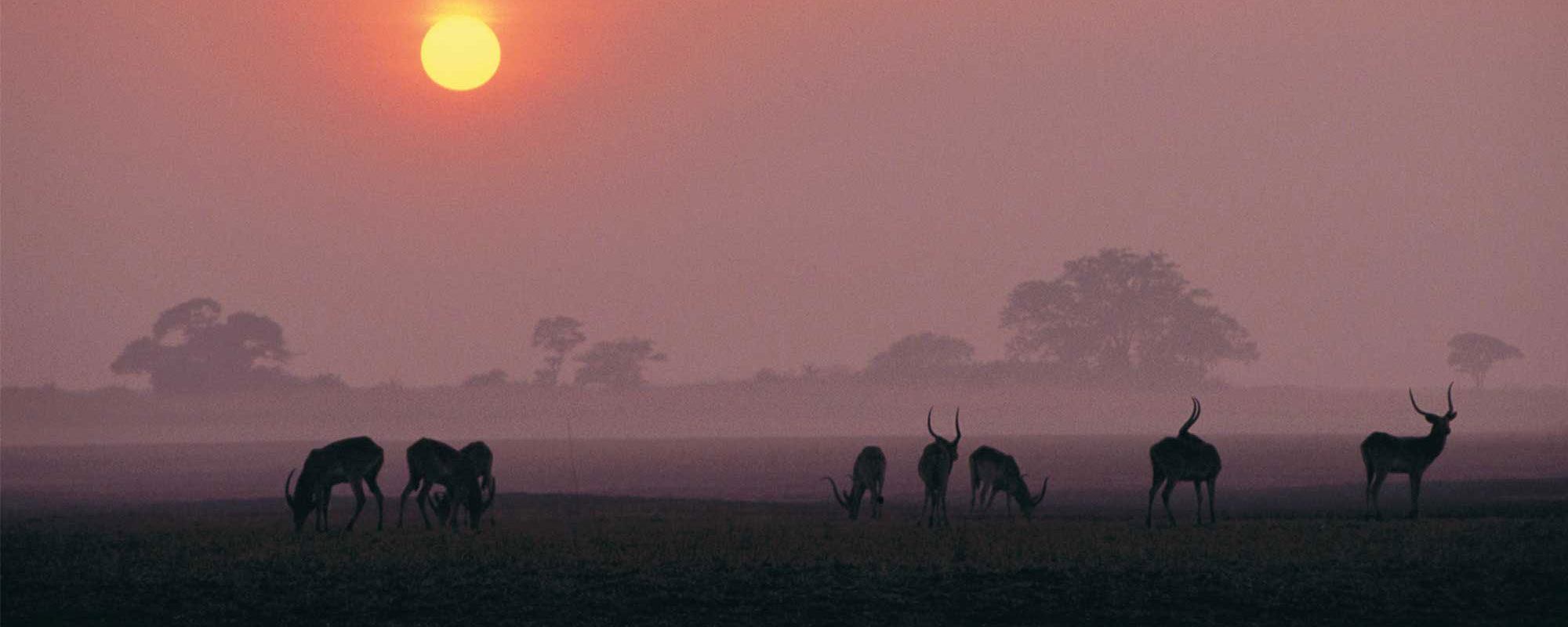
Weather & Rainfall Patterns
Station: 145s228e · 16.2 km away · 1035m