
Inyanga Mountains
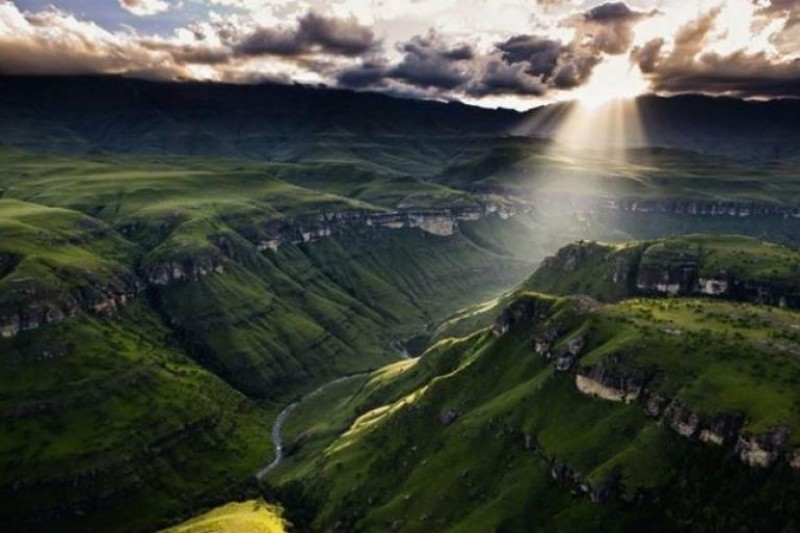
Mount Nyangani, formerly known as Mount Inyangani or Inyanga Mountains, is the highest peak in Zimbabwe, reaching an elevation of 2,592 meters (8,504 feet). It is situated within the Nyanga National Park in the Nyanga District, approximately 110 kilometers north-northeast of Mutare. The mountain's summit features a small rock outcrop rising about 40 meters above a broad moorland plateau spanning roughly 8 square kilometers. This plateau is characterized by rolling hills and heath vegetation, with steep descents to the east and west. The eastern slopes are covered in evergreen forest, while the western side features grasslands. The area experiences high annual rainfall, averaging around 2,200 millimeters, though dry spells occur during the winter months from May to August.Mount Nyangani is the source of three significant rivers: the Nyamuziwa, Kairezi (Gairezi), and Pungwe. The region's diverse ecosystems support a variety of wildlife, including the endangered Inyangani river frog, found in fast-flowing rocky streams, and the African clawless otter in the upper Gairezi River. The montane forests are home to blue duikers and Samango monkeys, while other mammals like kudu, reedbuck, klipspringer, and occasionally leopard and hyena can be found. Birdlife is also rich, with breeding populations of Blue Swallow and Wattled Crane. The flora includes endemic species such as Protea asymmetrica (Inyanga sugarbush) and Afrosciadium rhodesicum, along with other localized plants like Aloe inyangensis.The mountain holds deep cultural significance for the local Manyika people, who consider it a sacred highland area believed to be haunted by ancestral spirits, leading to myths of disappearances. Archaeological evidence, including Iron Age ruins and extensive agricultural terracing from the Ziwa people (15th-17th century), can be found on nearby hills and within Nyanga National Park. The area offers various activities for visitors, including hiking to the summit, birding, camping, bush walks, abseiling, guided tours, cycling, fly fishing in stocked dams, and boating. The main hiking route, known as the Tourist Path, provides panoramic views across the park and into Mozambique.
Quick Info
Own this place?
Claim it to manage photos, respond to visitors, and promote it to travelers.
Claim this listing →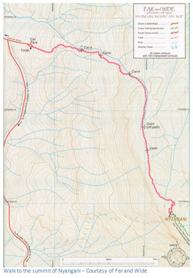


Weather & Rainfall Patterns
Station: 183s328e · 28.2 km away · 2114m