

Hoarusib River
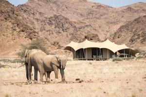
The Hoarusib River is an ephemeral river located in the remote Kunene Region of north-western Namibia. Its source lies near the regional capital of Opuwo, from where it flows through the rugged Tonnesen and Giraffe Mountains before eventually reaching the Atlantic Ocean. The river's catchment area spans approximately 15,237 square kilometers (5,883 sq mi), and its course extends for about 300 kilometers (190 mi). The name "Hoarusib" is believed to originate from the Nama word "!naruseb," which translates to "water which twists and turns through a narrow gorge," aptly describing its geological characteristics.The river is renowned for its dramatic landscape, featuring steep canyon walls composed of striking black and red volcanic rock. Along its banks, unique "clay castle" formations can be observed, sculpted over time by the gradual deposition and erosion of clay. Makalani palms, growing from seeds washed down from upstream, also dot the riverine environment. While often dry, the Hoarusib occasionally carries surface water during Namibia's rainy season, typically from November to February or March, transforming parts of its valley into flowing streams within narrow canyons.The Hoarusib River valley is a significant habitat for desert-adapted wildlife, including the iconic desert elephants, whose tracks and dung are frequently encountered along the riverbed. Desert-adapted lions also inhabit this remote region, though sightings are rare. The area offers adventurous 4x4 excursions, allowing visitors to explore the riverbed, its scenic canyons, and geological wonders like the Purros Poort and the Clay Castles. Due to its remote location and challenging terrain, traveling through the Hoarusib River Valley is recommended for experienced adventurers, often in convoys.
Quick Info
Own this place?
Claim it to manage photos, respond to visitors, and promote it to travelers.
Claim this listing →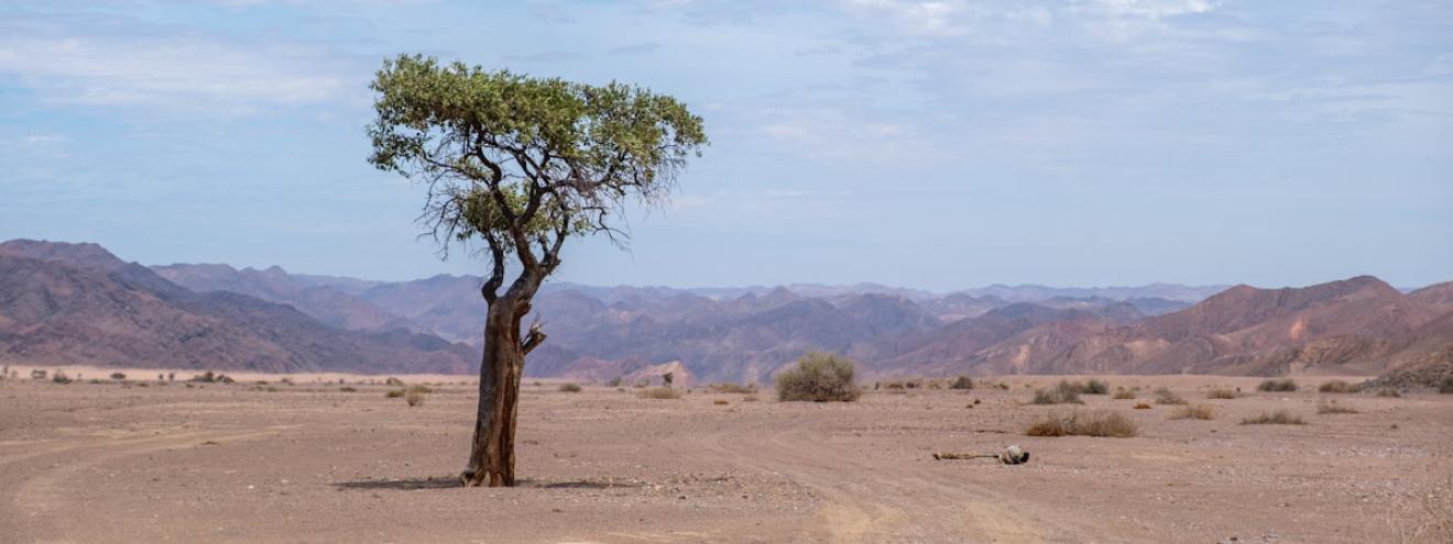


Weather & Rainfall Patterns
Station: 189s125e · 21.8 km away · 115m